A few days at another new campsite near Leyburn. After comprehensive instructions from a very enthusiastic host, we walked the mile into Leyburn across the fields and enjoyed a look round the pretty market town. Found the fish and chip shop for later when Roy came back for our dinner.
WHEAT FIELD READY FOR HAARVEST
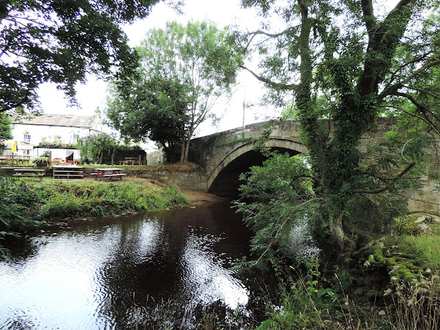
OTHER SIDE OF HULLO BRIDGE
After an evening and night of pouring rain and a recurring leak in our van appearing, we woke to more rain and mopping. Roy sorted out where leak is, which he's not been able to find before. Sorted by altering level of van and fixed until we return home.
We drove to Askrigg and did a lovely circular 7 mile walk, a stretch of the River Ure, past Nappa Hall before traversing the slopes below Ellerkin Scar. We then visited Whitfield Gill Force and did a bit of a sidetrack to try see the top of the mighty Force but after a slippy muddy trek we only got as far as seeing it through trees. Magnificent with huge amounts of water flowing down.
THIS WAS SUPPOSED TO BE STEPPING STONES! GOOD JOB NOT OUR WAY
NAPPA HALL
THE SECRET COVERED PATH OF SILENCE LEADING TO CHURCH
ELLERKIN SCAR IN BACKGROUND
WHITFIELD GILL FORCE PHOTOS
AALMOST BACK
Our last day and the sun shone with a lovely breeze. We walked from the campsite to do the Leyburn, Preston - under - scar and Wensley 7 mile circular walk. A lovely start along Leyburn Shawl, a limestone escarpment which runs for 2 miles and shows panoramic views towards Penhill and Coverdale Fells. The Shawl is mentioned as the route taken by Mary Queen of Scots whilst making an unsuccessful attempt to escape her imprisonment in Bolton Castle in 1586.
ROY ACROSS THE BARLEY FIELD
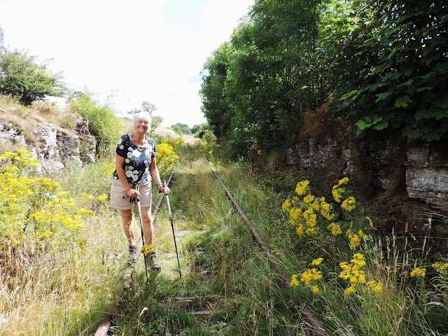
ANNE ON ?DISUSED WENSLEYDALE RAILWAY
BOLTON HALL
ANNE IN A SQUEEZE GATE - NOT BUILT FOR LARGE PEOPLE
YORKSHIRE DAY TODAY!
END OF ANOTHER LOVELY TRIP AWAY!


No comments:
Post a Comment